The Nursery Beneath the Surface at Pleasant Bay
Pleasant Bay was once an abundant source of mature sea life, and Owen Nichols remembers when winter flounder was plentiful there. “You could pull up into one of the little coastal ponds attached to the Bay and haul out boxes full.” A 50-year-old inventory conducted by the Massachusetts Division of Marine Fisheries supports the vast amounts of anecdotal evidence that Nichols and his fellow researchers at the Center for Coastal Studies have gathered. The Center is wrapping up a three-year study designed to compare the findings from 1967 with current data in order to find out how, and sometimes why, sea life demographics have changed.
“Much of what we catch offshore gets its start in the Bay,” Nichols tells an attentive audience at an annual Friends of Pleasant Bay meeting Accompanied by maps and data indicating fish and invertebrate distribution, he poignantly translates new findings. “Pleasant Bay is a nursery for juvenile species like blackbacks, lobster, bay scallops and a wide variety of small fish, which are a food source for larger animals,” like seals, Atlantic cod and striped bass.
The Center’s methods are layered. Step one: benthic habitat mapping—a detailed depiction of the seafloor, which reveals information about benthos—organisms living on the seafloor. Early grab samples revealed 146 different species within Pleasant Bay, most of which live in and among eelgrass, the growth of which has been closely watched during recent years. Anyone who has been paying attention to water quality in Pleasant Bay can tell you, eelgrass is a hot topic. Prevailing thinking is that nutrient-rich runoff, which alters the chemistry and subsequent hospitability of the Bay, is to blame for eelgrass reduction. Benthic maps reveal much more of the story.
Agnes Mittermayr, a marine ecologist at the Center, elicits wide eyes and collective surprise from the audience as she interprets photos—benthic maps—resembling the surface of the moon. The bird’s eye views reveal blurry patches where eelgrass is abundant, and also several circular pockmarks—mooring scars—where eelgrass has been gouged and uprooted from the seafloor by mooring chains dragging along the bottom in a circular direction in response to changing winds.
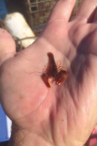
Step two: Sampling the seafloor with nets, dredges and traps in areas throughout the Bay that have previously been mapped. In an effort to replicate earlier studies, Nichols is focused on two areas: Paw Wah Pond and Meetinghouse Pond. Replicating the same techniques used in 1956, he and his group have been “seining” those areas, looking for forage fish. By dragging a weighted net that hangs vertically in the water, they catch species that frequent the shallows—fishes like mummichog, killifish, silverside, needlefish and sheepshead minnow. Working cooperatively with the Massachusetts Division of Marine Fisheries and Ames Marine of Harwich, Nichols finds “young of the year” baby lobsters, too.
All of this—mapping, boat mooring, net dragging and analyzing—is far from glamorous, but this important work contributes to a growing body of knowledge about the rapidly changing waterways in and around Cape Cod. Working on docks and in boats, with fishermen as research partners, the Center actively collaborates and exchanges information with those who Nichols calls “the frontline observers of change”—fishermen committed to supplying local markets and feeding their families.
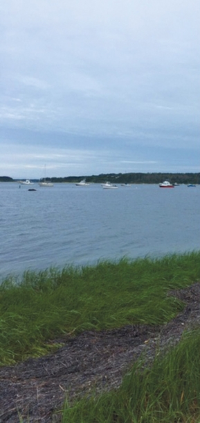
The bottom line, no pun intended, is that there is no concise, singular message when it comes to Pleasant Bay. As the largest estuary on Cape Cod, and one of the most biologically diverse marine habitats on the East Coast, the Bay easily captures and holds the affinity of those who visit and live on Cape Cod. Whether boaters, fishers, paddlers, golfers, birders, water samplers, real estate seekers, or simply those who take in the view, there are multiple players to consider . . . and that doesn’t even include the dynamic and complex relationships taking place beneath the surface!


